
Irish Sea

SKU
Irish Sea
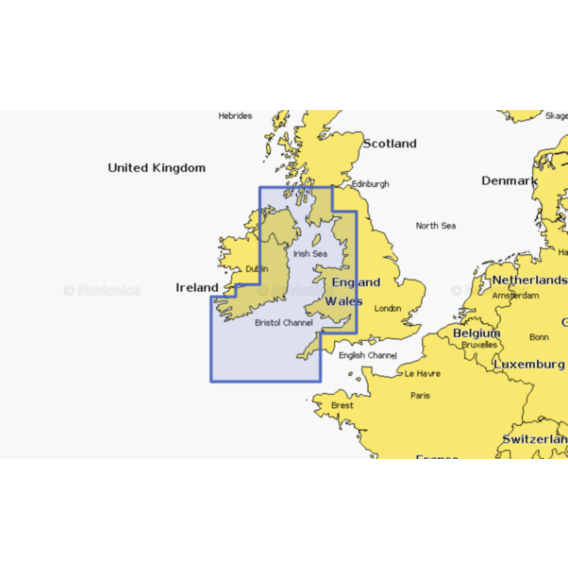
Coastal coverage of the western coast of Britain and the eastern coast of Ireland including the Isle of Man and Isles of Scilly. Coverage is from Port Ellen on the Isle of Islay to Falmouth in Britain and from Fanad Head to Kenmare Bay in Ireland. Coverage includes areas such as Londonderry, Belfast, Liverpool, and Cardiff, United Kingdom, and Dublin and Cork, Ireland.
Card type: SD/MSD
As low as
£124.99

| Navionics+ | Platinum+ | |
|---|---|---|
| Coastal Content | • | • |
| Inland Content | 42,000+ lakes |
42,000+ lakes |
| Detailed Nautical Charts | • | • |
| Daily Updates1 | • | • |
| Dock-to-dock Route Guidance 1,2 | • | • |
| Plotter Sync1 | • | • |
| Community Edits | • | • |
| Advanced Map Options1 | • | • |
| SonarChartTM Live Mapping3 | • | • |
| Relief Shading1 | Via Chart Installer | |
| Satellite Imagery with SonarChartTM Shading Overlay1 | Via Chart Installer | |
| Aerial Photography | • | |
| 3D View | • |
